Temps Approaching 90 This Week
We’re starting the week out with the opportunity for showers and t-storms tonight into Tuesday. A weakening frontal system is drifting into the region and triggering rain activity. Showers and t-storms will be possible overnight and during Tuesday. We don’t expect anything going severe but there could be some heavy downpours and rumbles at times.
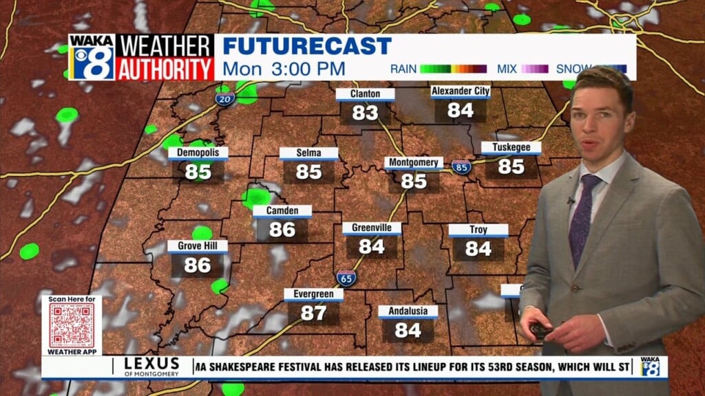
We head into midweek with high pressure over us. This should keep our sky mostly sunny and mainly rainfree through Thursday. Temps will warm to near summer-like readings. Afternoon highs will manage the upper 80s to near 90 degrees while overnight lows hover in the mid 60s.
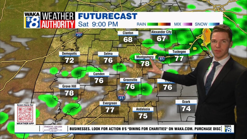
Another frontal boundary will advance eastward into the area Friday into the weekend. This frontal system may ignite showers and storms at times. We don’t see it as a washout but there may be times rain rain activity impacts your outdoor plans. Temps will continue rather warm with highs in the mid to upper 80s and lows in them mid 60s.